
Urban
Overlap, indoor loss, and lunchtime load
In a dense commune the problem is less “is there a site?” and more “which site, how loaded, and can the mid-band layer enter the building?” Interference from neighbors is part of the design. Capacity upgrades look like more spectrum, more sectors, or more sites, not a taller tower on the horizon.

Rural
Distance, terrain shadow, and a thin exit
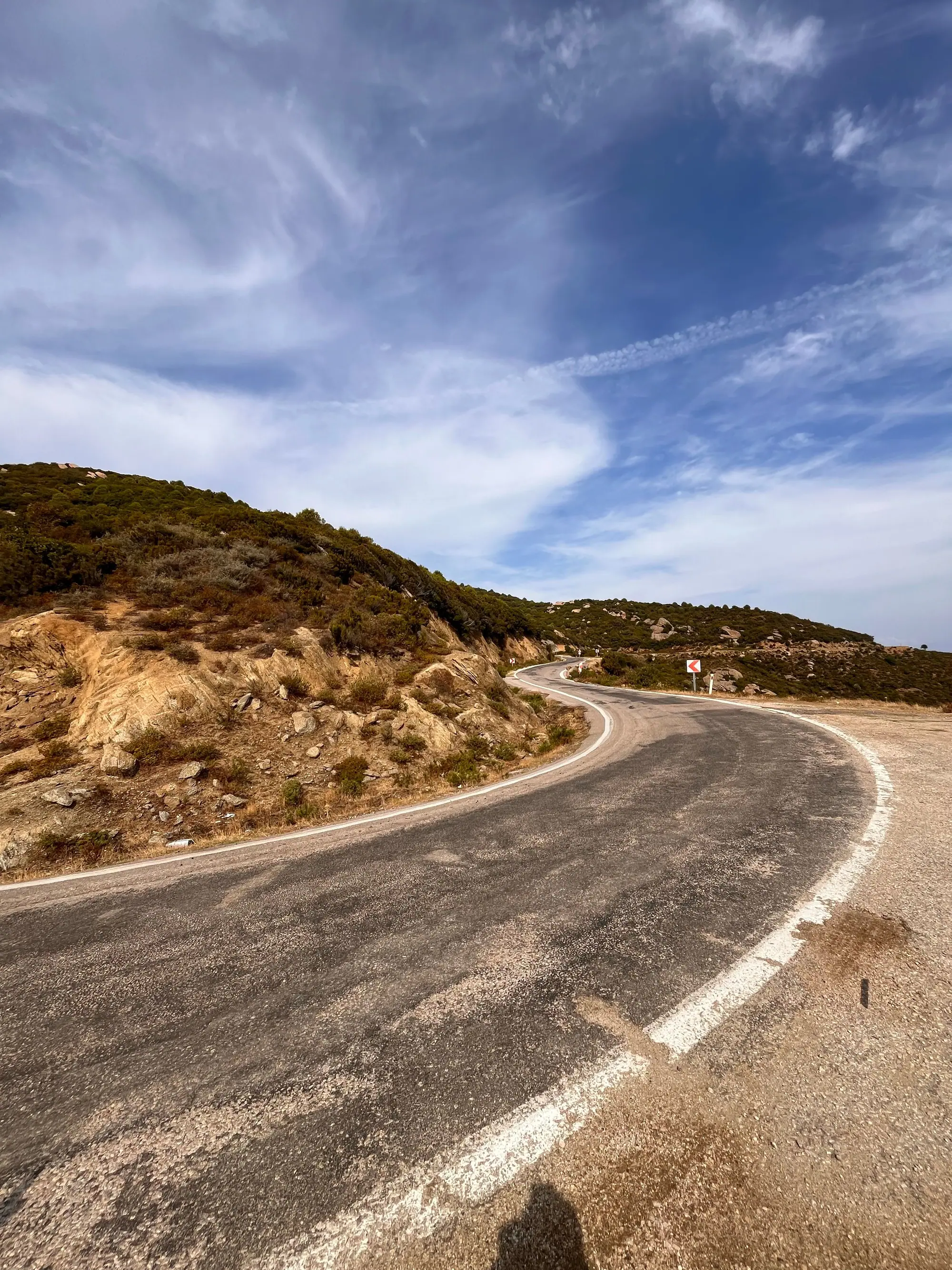
Outside the metropolitan rings the problem flips. A coverage band may be the only layer that arrives. A single sector can cover a road and a village. Backhaul may be microwave. A speed test at the plaza can look acceptable and collapse 8 km up the valley.
Geography
Chile’s shape is the coverage brief
The country runs thousands of kilometers north to south and only a short distance from the Pacific to the Andes. Population clings to a few basins. Radio planners therefore build a spine and then decide which ribs are worth a site. That is not neglect as a slogan; it is a cost geometry.
Atacama and the Norte Grande
Dry air and open sightlines help microwave and long LTE cells. Population is clustered in coastal cities, mining camps, and road towns. A traveler between those points may see a coverage layer and little else. Industrial networks around mines can be robust without being a public street grid.
The central valley
This is where fiber, overlapping macros, and mid-band 5G are easiest to justify. It is also where indoor materials and traffic density hide problems that a rural user would describe as “no signal.”
The south and the channels
Rain, hills, and water break line of sight. Sites follow inhabited edges. A ferry crossing or a forested slope can drop a session that was stable in town. Generation badges matter less than whether any layer still has a path.
Related reading: bands, backhaul, and speed factors.
Mining corridors are not the same as public roads
Northern industry can fund robust links that do not automatically become a traveler’s grid. A camp can be well served while the public kilometer markers between camps stay on a coverage layer. Do not infer a region’s public experience from a single industrial node.
Fog, rain, and foliage
Coastal camanchaca and southern rain change microwave and high-band mobile in different ways. Trees on a slope can hide a site that is line-of-sight on a map. Season is a variable. A January sample and a July sample of the same curve can disagree.
A two-stop comparison
Pick a plaza and a point 6–10 km out on the same road. Run the same two pages at both stops, same hour. If the plaza is fine and the road is not, you have a geography problem, not a “Chile is slow” problem. Read which layer you likely kept and whether the exit thinned.
Ferries and dead water
Over open water a phone may hold a distant coastal cell until it cannot. That drop is expected. Generation labels will not invent a site in the channel.
Why a plaza and a kilometer marker disagree
A plaza often sits near fiber, overlapping macros, and a cache-friendly path to popular hosts. A marker on a transverse road may keep only a coverage layer and a microwave tail. The SIM logo can stay the same. The stack does not. That is the geometry this note exists to name.
Season is a variable, not a mood
Southern rain and coastal fog change high-band mobile and microwave in ways a January sample will not show. Northern dust and heat are a different maintenance story. If you describe a region from one trip, say so. A July return can disagree without anyone “lying.”
What density buys, and what it costs
Urban grids buy overlap and indoor options. They also buy interference and lunchtime load. Rural grids buy range and a simpler neighborhood. They also buy a single point of failure: one sector, one tail, one battery string. Neither pattern is a moral. Both are reasons to write the place down next to the number. Continue with maps if the question is a painted polygon.