Independent information only. entei-cl is an editorial project about mobile networks in Chile. It is not a mobile operator, reseller, installer, or regulator, and it does not sell plans, devices, or connectivity services.
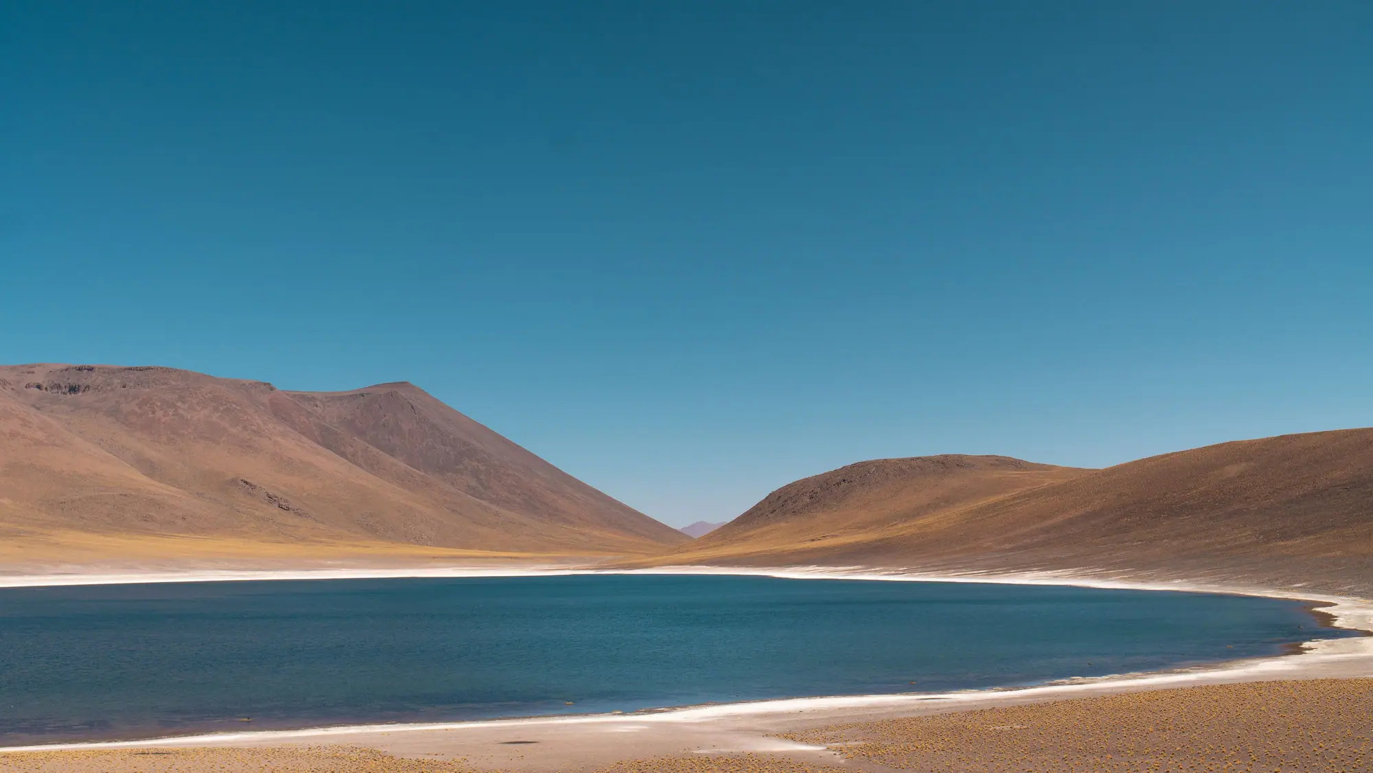
Field atlas · Antofagasta
How mobile networks actually move across Chile
A long, thin country, a handful of radio bands, fiber along the main valleys, and submarine cables on the Pacific coast. This site explains the path from a handset to the rest of the internet.
Speed is not a slogan. It is a chain of constraints.
A Chilean mobile session is only as fast as the weakest step: the radio link, the spectrum in use, the load on the cell, the backhaul leaving the site, and the international path after the core network. Public speed tables can look impressive in dense cities and ordinary a few valleys away.
The notes on this site stay with mechanisms you can check: bands, site types, fiber versus microwave, and how to read the numbers on a handset. They do not rank operators or sell access.
Chile is 4,300 kilometers of coastline and a narrow inhabited strip.
The same operator can look fast on a coastal avenue and thin on a transverse valley. Mountains, fog, and long hops between towns are not footnotes. They are the design brief.
entei-cl is based in Antofagasta and writes only about networks.
The project is informational. It does not take sign-ups, process payments, or represent SUBTEL or any mobile operator. Contact details on this site are real and can be used to ask about the text, not to order a service that does not exist.
Chile’s mobile internet is a long machine with local ceilings
From Arica to the southern channels the inhabited strip is narrow. Radio sites follow people, roads, and industrial demand. Fiber follows the same spine when trenches and budgets allow. International traffic still has to reach a coastal landing. None of those facts rank a company. They explain why a measurement in a capital commune and a measurement at a desert marker can share a logo and not share a story.
Public speed platforms have often shown dense Chilean cities near the top of regional tables. That observation is a sample of volunteers, hours, and apps. It is not a promise for a rear apartment, a ferry deck, or a lunchtime stadium. This atlas exists so those differences can be named without turning into marketing.
If you came from an advertisement, you should find the same publisher on every page: entei-cl in Antofagasta, writing notes, not selling access. The project is not affiliated with Entel, SUBTEL, or any mobile operator.
North: long sightlines, sparse towns, industrial demand.
Center: dense grids, indoor loss, busy sectors.
Distance: a plaza and a kilometer marker are different jobs.
A weekday session, named in pieces
1
The modem camps
It chooses a cell and a band the local network has turned on. The badge is a summary of that choice.
2
The sector shares air
Neighbors, tilt, and interference decide how much of the advertised width you actually get.
3
The site leaves town
Fiber or microwave empties the buffer — or does not. A wide radio cannot invent a tail.
4
The path may go to sea
A cached domestic page can look local. An uncached overseas host still pays the Pacific.
Whether the phone is on Wi-Fi or the mobile layer.
Whether a domestic page and an overseas page behave differently.
Whether a rear room differs from the sidewalk.
Whether radio counters collapse or stay ordinary while a download plateaus.
What this site will not do
It will not sell a plan or take a payment.
It will not rank operators or invent awards.
It will not promise coverage or a speed.
It will not impersonate a regulator or a commercial network.
Field glossary
Words the notes keep using, without the folklore
Sector
A slice of the horizon served by one set of panels. You share it with whoever else is in that slice.
Coverage layer
A lower-frequency carrier that holds a session over distance and through some walls. Capacity is usually modest.
Capacity layer
A wider, often higher, carrier used where sites are denser and the exit can take the traffic.
Backhaul
The link from the site to the rest of the operator network. Fiber or microwave. Invisible on the badge.
Non-standalone 5G
A 5G radio that still leans on LTE for control. The badge can say 5G while the session still needs the LTE layer.
Cache
A copy of popular content already inside the country. It can make a test look local even when the radio is ordinary.
Landing
Where a submarine system comes ashore and meets terrestrial fiber. Not a feature of the nearest pole.
RSRP / SINR
Level and cleanliness of the radio link. Closer to physics than a bar icon. Still a snapshot.
The glossary is a map of the atlas, not a replacement for the notes. If a term shows up on a street, open the article that owns it.
From the street
Panels point. Dishes leave.
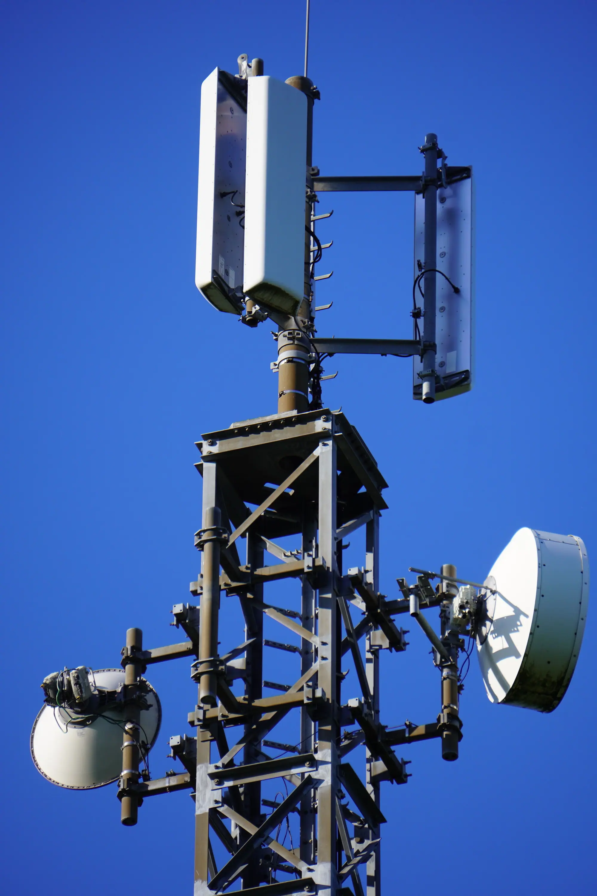
Rectangular panels are usually the mobile sectors. Circular dishes are often the hop that carries the site toward the rest of the network. Counting towers is not the same as counting capacity. The note that teaches the silhouette is cell sites and infrastructure.
Questions the desk hears, answered without a ranking
Why does a test look high at midnight and ordinary at lunch?
A sector is a shared medium. Midnight empties the air and sometimes the tail. Lunch fills both. The generation badge can stay the same. Read the speed stack and SINR before treating one number as the street’s character.
Why is the map green and the rear room quiet?
Most painted maps are outdoor predictions. Concrete, glass, and a loaded mid-band layer are not the legend. Coverage and bands are the pair that names that gap.
Why is a Chilean page fine and an overseas tab heavy?
A cache or a domestic host never asks the Pacific. An uncached origin does. The radio can be innocent. Cables and the session path keep those hops separate.
Is this Entel, or a shop?
Neither. entei-cl is an independent desk in Antofagasta. It is not affiliated with Entel, SUBTEL, or any mobile operator, and it does not sell plans. About and the bar at the top of every page say the same thing.
Start here if you have ten minutes
Three notes, one chain
Read the path, then the counters, then the stack that sits under a speed number. After that the rest of the atlas is optional depth: bands, maps, dishes, valleys, landings.
The ocean is a hop. It is not a verdict on the nearest pole.
Cookies on entei-cl
Necessary cookies store your cookie choice. Analytics or advertising cookies would run only after consent. This site currently has no advertising tags installed. If tags are added later, they will follow the choice stored here and a Consent Mode default of denied.